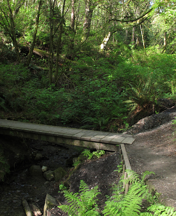
Care to walk through a wooded ravine, bright with late “spring green”? This Sunday, June 5, our Walk-n-Talk will start at the top of the hill and walk down the service road to the Marine Science Center at the north end of Seahurst Beach. This road, and the paths on the adjacent hillside, are the “best kept secrets” known by striders and dog-walkers around town. It’s a beautiful gem of a spot!
Walk Details:
- Date and Time: Sunday, June 5. Meetup at 2:00 p.m. Walking starts at 2:15 p.m.
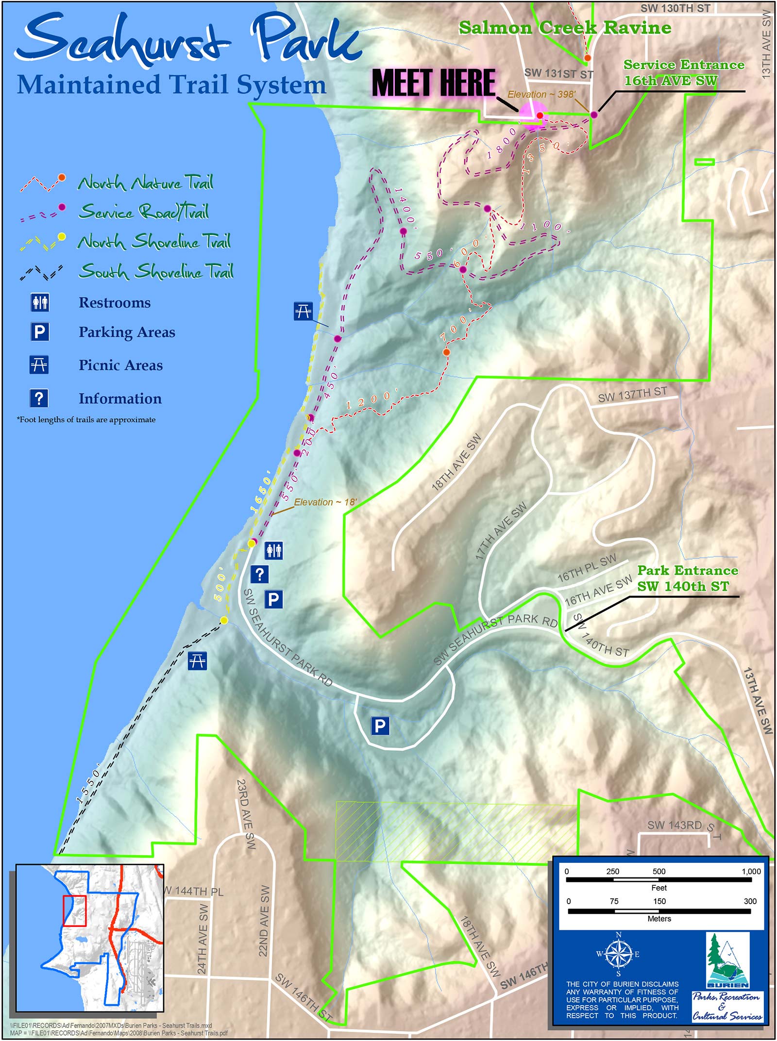
The forecast is for 88 degrees and sunny! Wear sunscreen; bring a water bottle. - Meetup Location: Approx. 13200 Shorewood Dr. SW, Burien WA 98166
(There’s a passageway in the cyclone fence in the corner.) See the map below. - Directions: From Burien Town Square Park, go WEST (toward the water) on SW 152nd St.
- Turn RIGHT and go NORTH on Ambaum Blvd. SW until SW 130th St.
- Turn LEFT on SW 130th St. (at Lakeside Milam)
- Go up the hill, following the road and veer RIGHT on SW 131st St.
- Drive one block to Shorewood Drive SW and look for parking.
- Parking Suggestions: Parking at the site is limited and we suggest that you carpool with other walkers. Since the walk starts in a residential area, we remind you to be considerate of private property and driveway accesses.
- Walk Conditions and Time: As with all of the Walk-n-Talks, each walker may go at whatever pace is most comfortable for himself or herself. The walk DOWN the hill on the road takes about 20-30 minutes; it is a hard-packed gravel, full-width road. The walk back UP the hill on the road is most gradual and easiest, taking another 20-30 minutes depending on pace. The walk UP along the trails is steeper and rougher, but quite beautiful. It may take 30 minutes or more (depending on how many photos you stop to take.) If it has rained within a couple of days, there may be mud in places, so boots may be desired.
- For those not wanting to walk back UP the hill, we suggest that friends carpool, leaving one car in the parking lot at Seahurst Beach, then driving to the walk starting point. Once completing the walk DOWN, you may then go to the car in the parking lot and drive back to retrieve the other car.
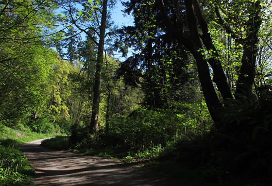
The road winds down toward the water under a tall canopy of newly-leafed-out trees. Tender greens of all sorts grow along the roadside.
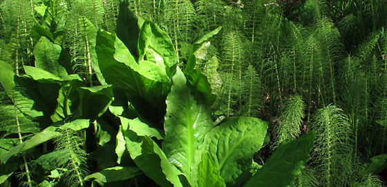
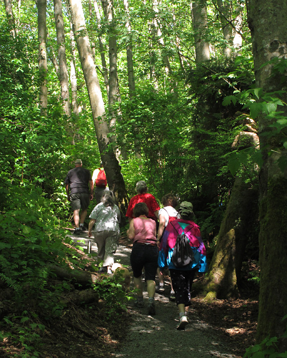
As we make our way down the road, you’ll be able to see entry points to the criss-cross of the North Nature Trails throughout the ravine. Once at the shoreline, walkers can enjoy some time at the beach, then the walk will continue back UP the hill.
Walkers may ascend on the easier, more gradual service road.
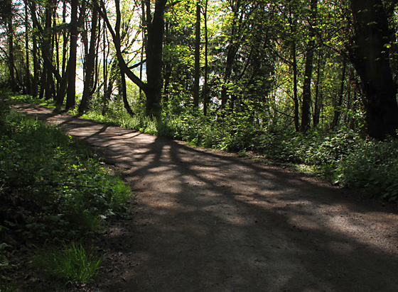
For those wanting a more rugged walk, they can climb the hill on the sometimes maintained, sometimes muddy, sometimes bridged creek-crossing trails. (We’ve got warm days in the forecast, so there’s no mud anticipated for this weekend.)

Here’s a map from the City of Burien showing our meeting place, the purple-dashed service road and the red-dashed trail (at the top of the map.) Seahurst Park Service Road Map
Questions? For questions, comments and suggestions, please contact:
Maureen Hoffmann at info@wabiburien.org
(Click on the map to see, and print, a larger version.)

