One of Burien’s little gems is the “Indian Trail”. This wandering, varied trail winds high above the shoreline strip of SW 172nd St. – the “Sunrise Trail” – and then, from Three Tree Point northward, parallels Maplewild Ave. SW – the “Sunset Trail”. It is said to be the remnant of a trail used long ago by the local Native American tribes as they traveled from the south end of Puget Sound to the north.
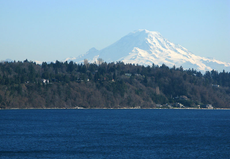
On Sunday, June 3, our monthly Walk-n-Talk will be led by local artist/writer/historian, Pam Harper, recent co-author of a book about the history of Three Tree Point. Pam will lead the group, offering historic commentary, as the trail starts cliff-high, winds down to the Point, then back up near Maplewild. At one point along the way, there is a 180 degree view of Normandy Park, Des Moines, Redondo, Mt. Rainier, Tacoma, the islands of Puget Sound and the Olympic Mountains.
- Date: Sunday, June 3, 2012
- Time: 2:00 meet-up. Walking starts at 2:15
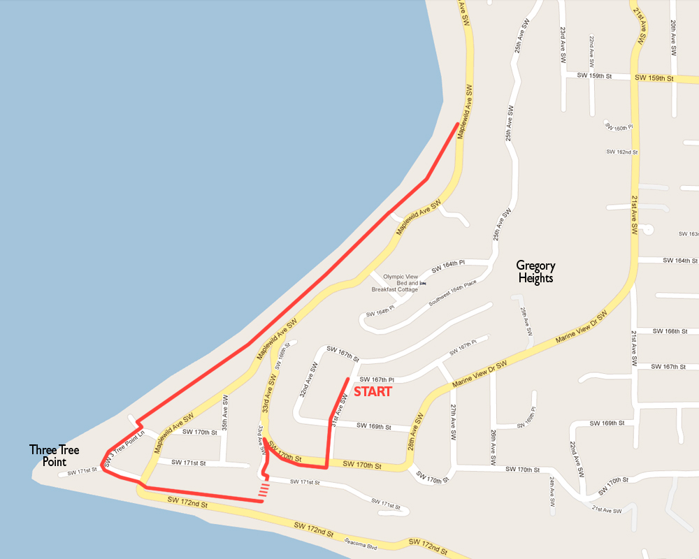
- Place: Meet at the corner of SW 167th Place and 31st Ave. SW (NOT at Burien Town Square!)
This is in the Gregory Heights neighborhood above Three Tree Point. - Distance: About 3 miles, round trip. The elevation change is about 300 feet.
- Parking: There is parking on the street in the neighborhood.
Pam and Guy Harper will direct people about parking.
This is a beautiful walk, wooded in places, wide open in others… paved wide in places, a narrow dirt path in others. Please be advised that this trip has quite an elevation change going down the hill and then back up. The path is also quite rugged and irregular. Because of these factors, it’s a poor choice for those with health and mobility limitations, and the trail will not accommodate strollers for children.
A cell phone “tag team” will be available to give rides to people back up the hill if they are unable or choose not to walk.
Here’s a map of our Indian Trail route. Click it to see a larger view, then PLEASE PRINT A COPY AND BRING IT WITH YOU IF YOU’D LIKE TO HAVE A MAP. Thank you.


